What We Do
We strive to be your choice for land surveying and drone services.
Our Expertise
Valentino & Associates has proven expertise in the areas of:
- Boundary Surveys
- Topographic Surveys
- ALTA/NSPS Survey
- Bathymetric Surveys
- Construction Layout and Staking
- Drone Surveying
- 3-D Laser Scanning
- As-Built Surveys
- Residential Surveys
At Valentino & Associates Land Surveyors in Atlanta, Georgia, we believe thatexperience alone will not insure a successful land surveying project. We apply the latest in surveying technology and implement aggressive surveying project management techniques to guarantee a quality product.
We perform the following general steps in the preparation of our surveys:
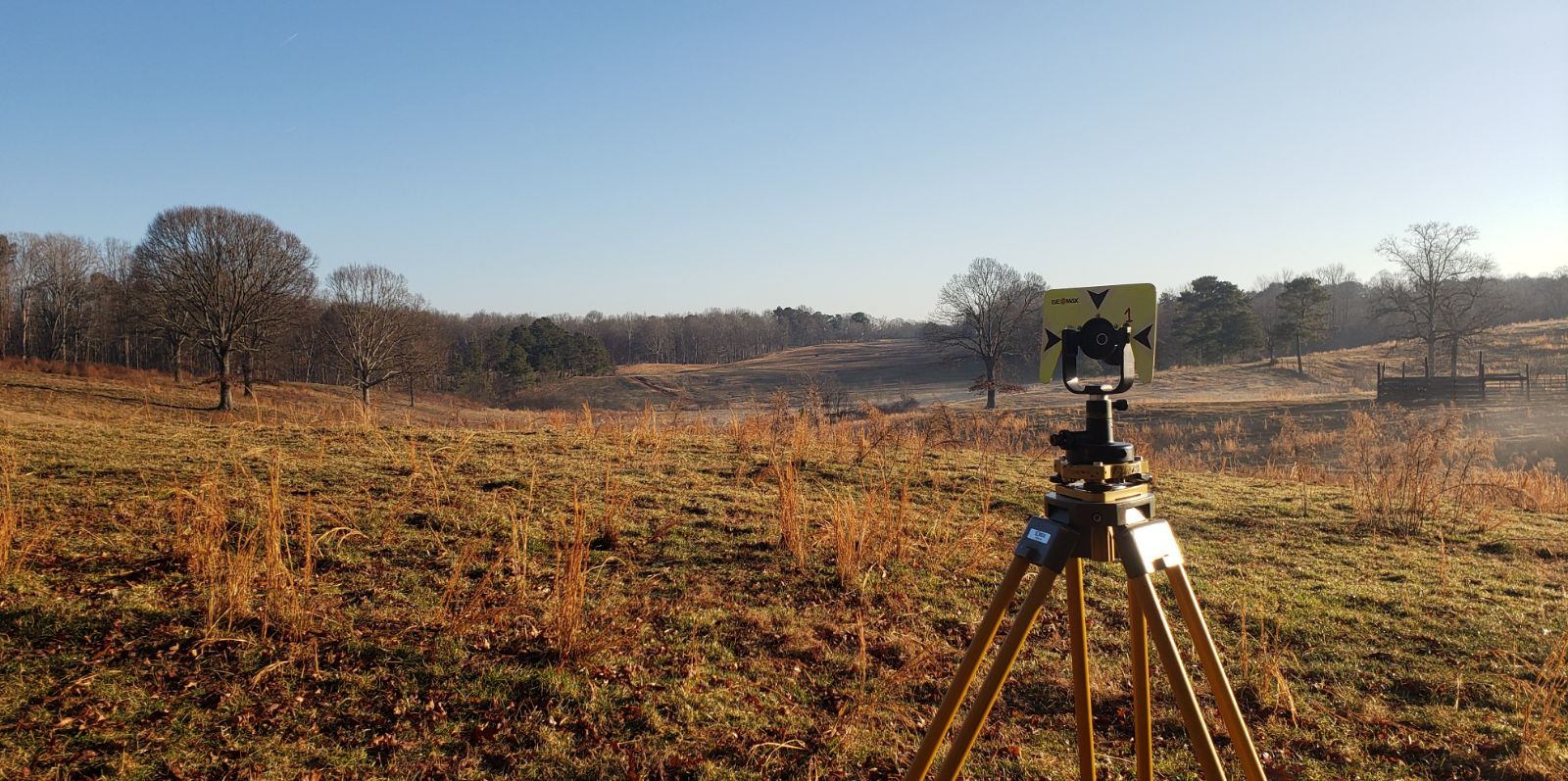
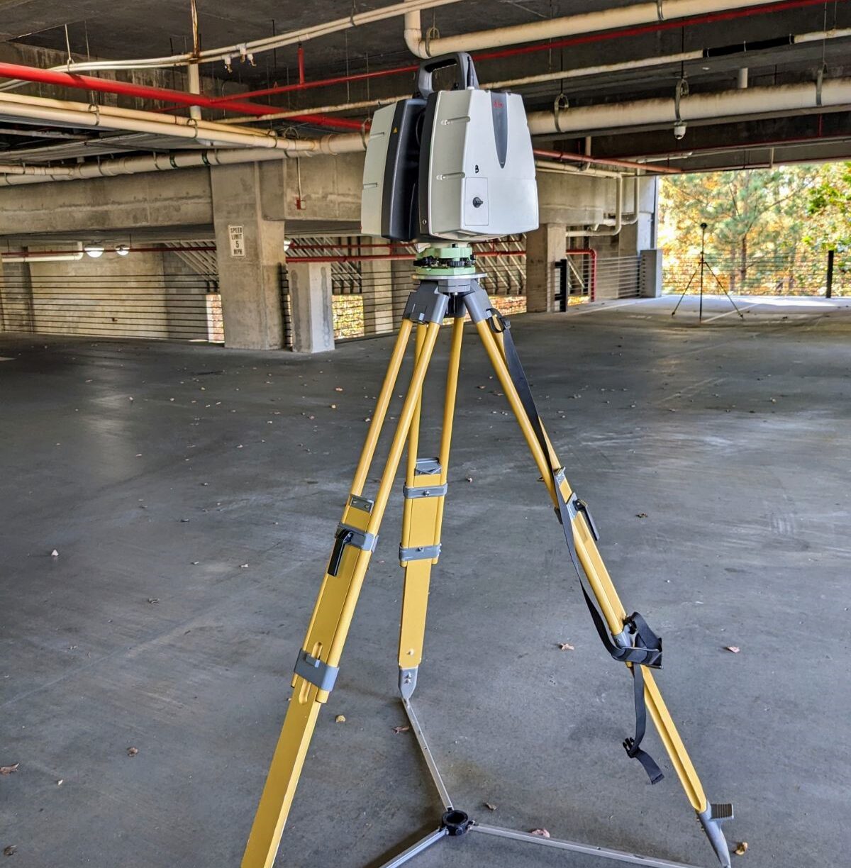
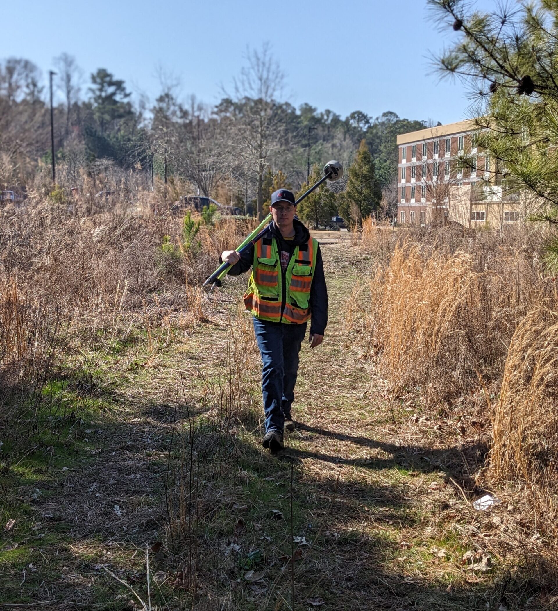
The survey fieldwork is completed and conducted by a multitude of diligent and trained land surveying employees sometimes consisting of a 1-person crew, 2- person crew, or even a 3-person crew depending on the job requirements. Thankfully, with our advanced surveying technology, we are able to get more work done with fewer employees, and all our crews are cross-trained in how to use our survey drone, 3-D scanner, GPS base and rover system, and digital level and robotic total station. The field crew will establish GPS control using a Carlson Brx7 GNNS receiver taking redundant observations on all control points and property corners to meet all minimum requirements set forth by the Georgia Board of Surveyors. Then we use a robotic total station such as Geomax zoom 95, or a terrestrial laser scanner Leica P40 which collects millions of points a second to create a 3d model of the subject area. For some jobs we may also use our advanced drone, a DJI M300 RTK with a 46mp camera, or our Geocue True View 515 LIDAR unit that can penetrate dense vegetation and collect ground data to perform topographic surveys for up to 300-acre sites in less than an hour. Lastly, we can conduct Bathymetric surveys using our Hydro-lite echo sounder and Hy-drone RC controlled boat. With all that said all measurements taken are proven with redundancy and are held up to the latest ASPRS mapping standards.
After the field work is completed, the data is sent to the project manager and all the data is reduced, checked, and drafted. Our office surveyors are trained in multiple office software suites such as Carlson Survey and point cloud, Leica Cyclone, Pix4d, and LP360 Lidar software. Once all the drafting is complete one of our Georgia Registered Land Surveyors will review all boundary solutions and review the overall survey, giving advice on where more data may be needed or where corrections should be made and applied.
Featured Projects
Valentino & Associates were requested to conduct a topographic survey on a moderately large employee parking lot and a portion of the trailer parking and distribution area for a warehouse in Coweta County.
Read Case Study ›An ALTA/NSPS Land Title Survey, LIDAR topographic survey, and a Bathymetric survey on the existing lakes/ ponds had to be conducted in little to no time. So, Valentino & Associates stepped up to the plate to take on the project.
Read Case Study ›Our loyal client contacted Valentino & Associates with a concern that they were running into a problem as the interior of their warehouse was being constructed.
Read Case Study ›We used our highly accurate robotic total stations as well as a digital level which reads elevations to the thousandth of a foot to collect all the necessary data to complete the survey as requested by the construction contractor.
Read Case Study ›