Boundary Surveys
Boundary Surveys are conducted to establish the exact location, boundaries, or subdivision of a tract of land in any specified area. This type of land survey requires professional registration in all states. Valentino & Associates has provided thousands of boundary surveys throughout the Atlanta area and the state of Georgia. To say that all of our field and office personnel are intimately familiar with the ins and outs of preparing a boundary survey is an understatement.
A boundary survey involves field and office work, locating or setting boundary corners, and preparing a plat of survey document showing all improvements as well as the relationship of possession lines to record or title lines.
We perform the following steps in the preparation of our Boundary Surveys:
- Research ׀ After a client furnishes a legal description of the property, we extensively research public and private survey records, including deeds of the subject parcel and, if needed, adjoiners, recorded subdivisions and any roadway dedication documents affecting the land boundary.
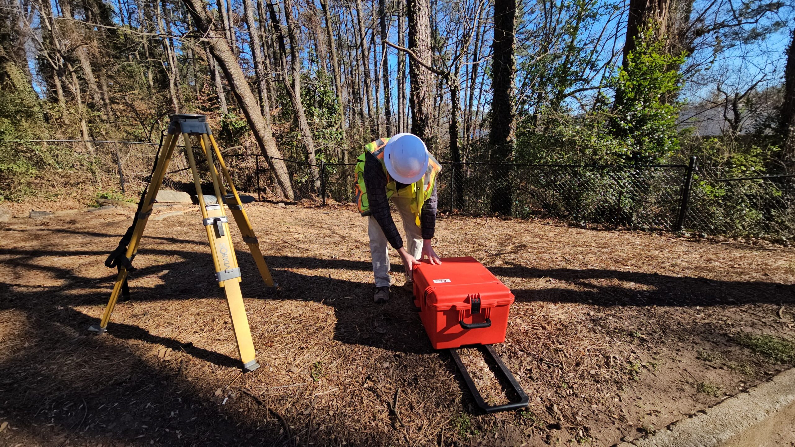
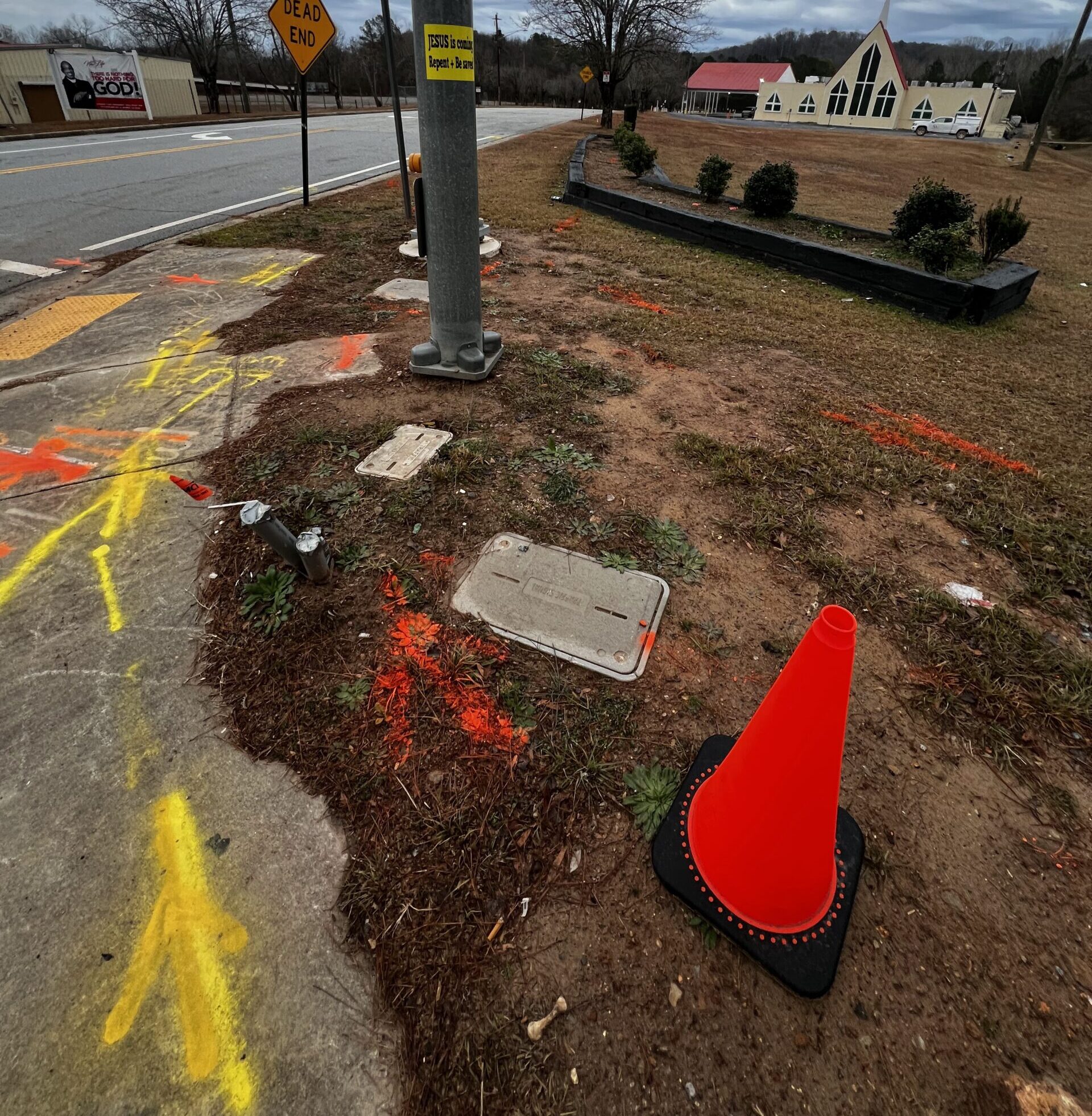
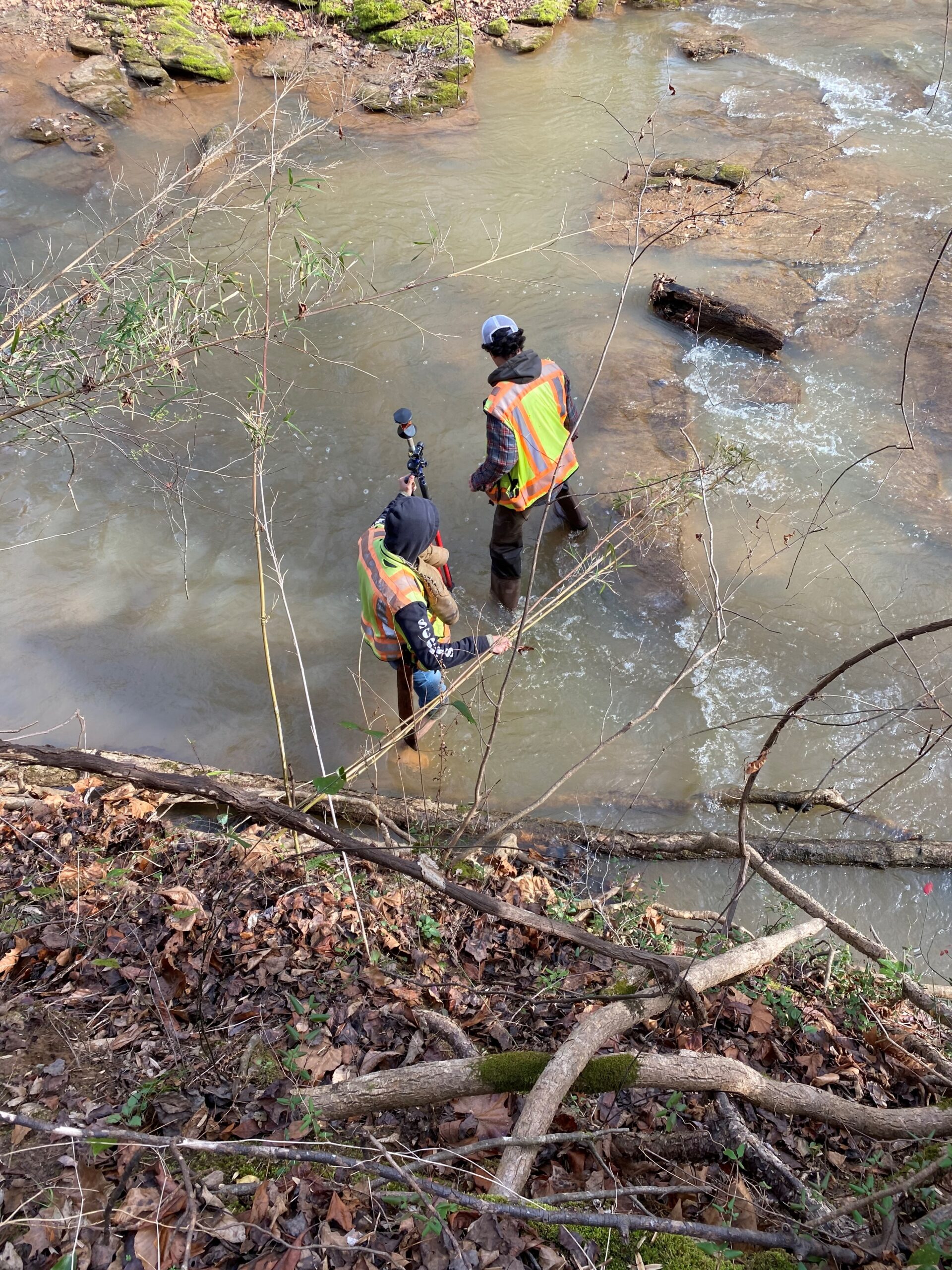
- Field Work ׀ Under the direct supervision of a professional land surveyor, our experienced field technicians perform a diligent search for property corners for the subject land parcel as well as adjoining properties. They locate and measure all monumentation and boundary evidence such as fences and improvements.
- Boundary Resolution ׀ Our expert land surveyors sort through all measurements, weigh all evidence and develop a defensible opinion as to the location of the boundary lines. They apply boundary law principles to arrive at the location that represents the land boundary as established by the original surveyor.
- Set Property Corners ׀ Under the direction of a professional land surveyor, our field technicians return to the site to set missing property corners and mark existing ones. Fences and improvements near these locations are located and measured.
- Prepare Boundary Survey Plat ׀ Our experienced CAD technicians produce a detailed plat of survey showing the record and measured land boundary, off-site neighboring improvements within 25 feet of property boundary lines, and all site improvements. The plat of survey is prepared and certified in accordance with the Georgia Boundary Survey Standards.