Bathymetric Surveys
Bathymetric Surveys for Small Lakes and Ponds
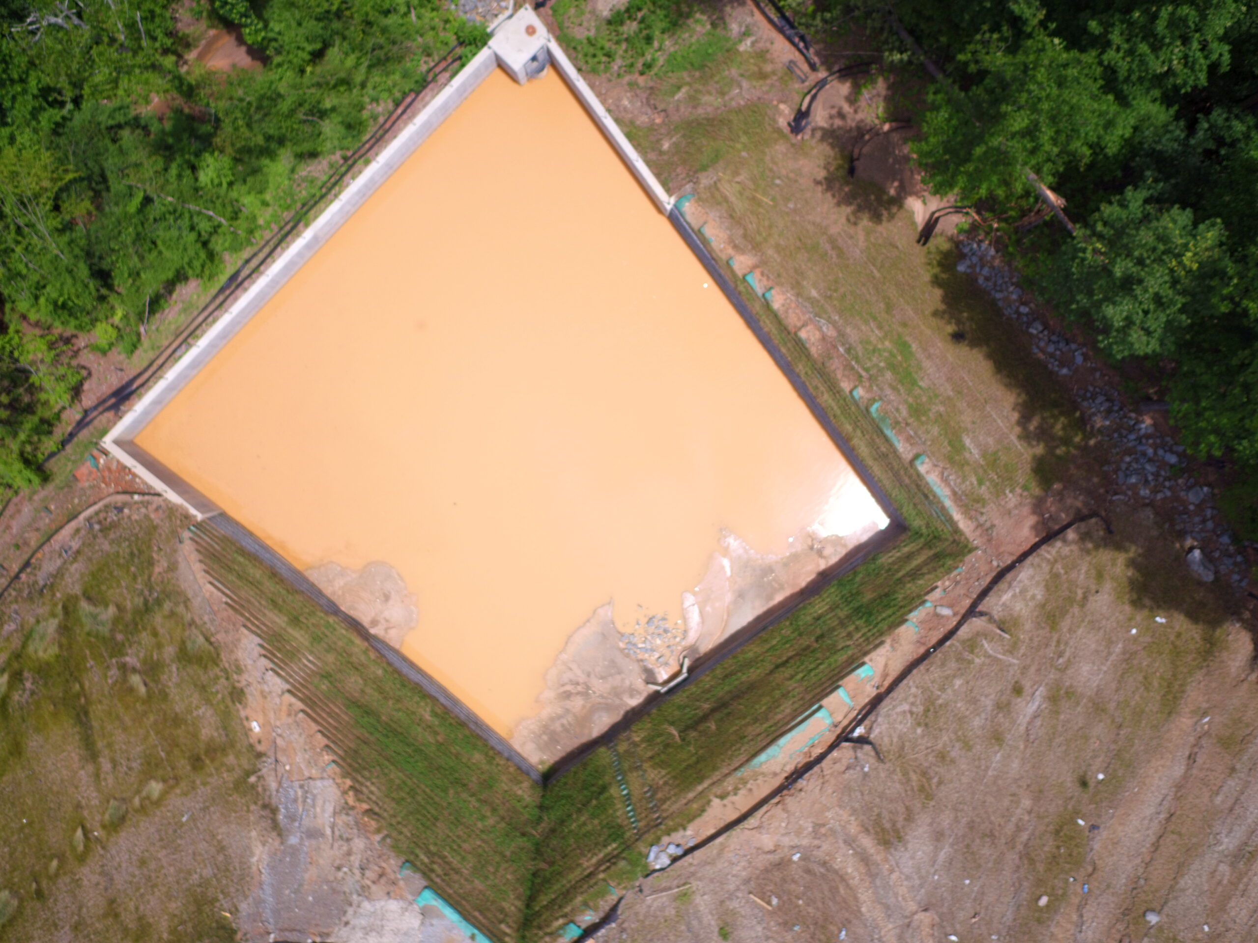
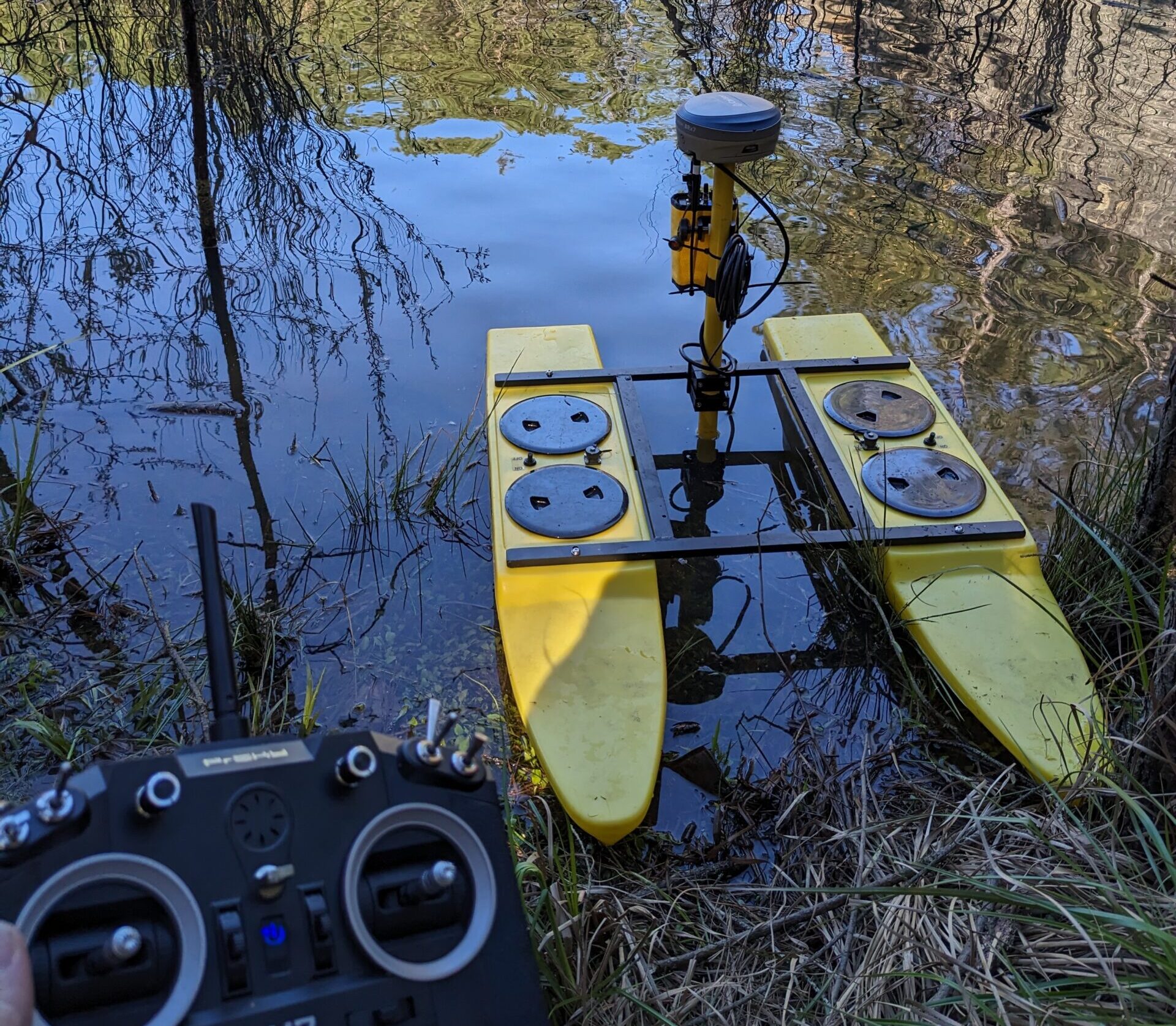
A Bathymetric Survey is a type of hydrographic survey that maps the depths and shapes of underwater terrain to illustrate the land that lies below the water’s surface. Performing a bathymetric survey used to be dangerous endeavor with low accuracy. At Valentino & Associates Land Surveyors, we can now survey ponds and streams safely and accurately using our TyDrone-RCV remote control catamaran platform working in conjunction with the HydroLite-TM portable echosounder kit. We also use the Hydrolite TM Echosounder with the survey boat.
Most Atlanta land surveying companies do not have the capability to do Bathymetric Surveys, but with our advanced surveying equipment, Valentino & Associates land surveyors can safely map the floor of a body of water to create a topographic map that can be used for design purposes or to mitigate risk from upstream.
Valentino & Associates Land Surveying limits our bathymetric surveying to ponds, streams, and small lakes. We do not do large open-water bathymetric surveys.