3-D Laser Scanning
Let's Talk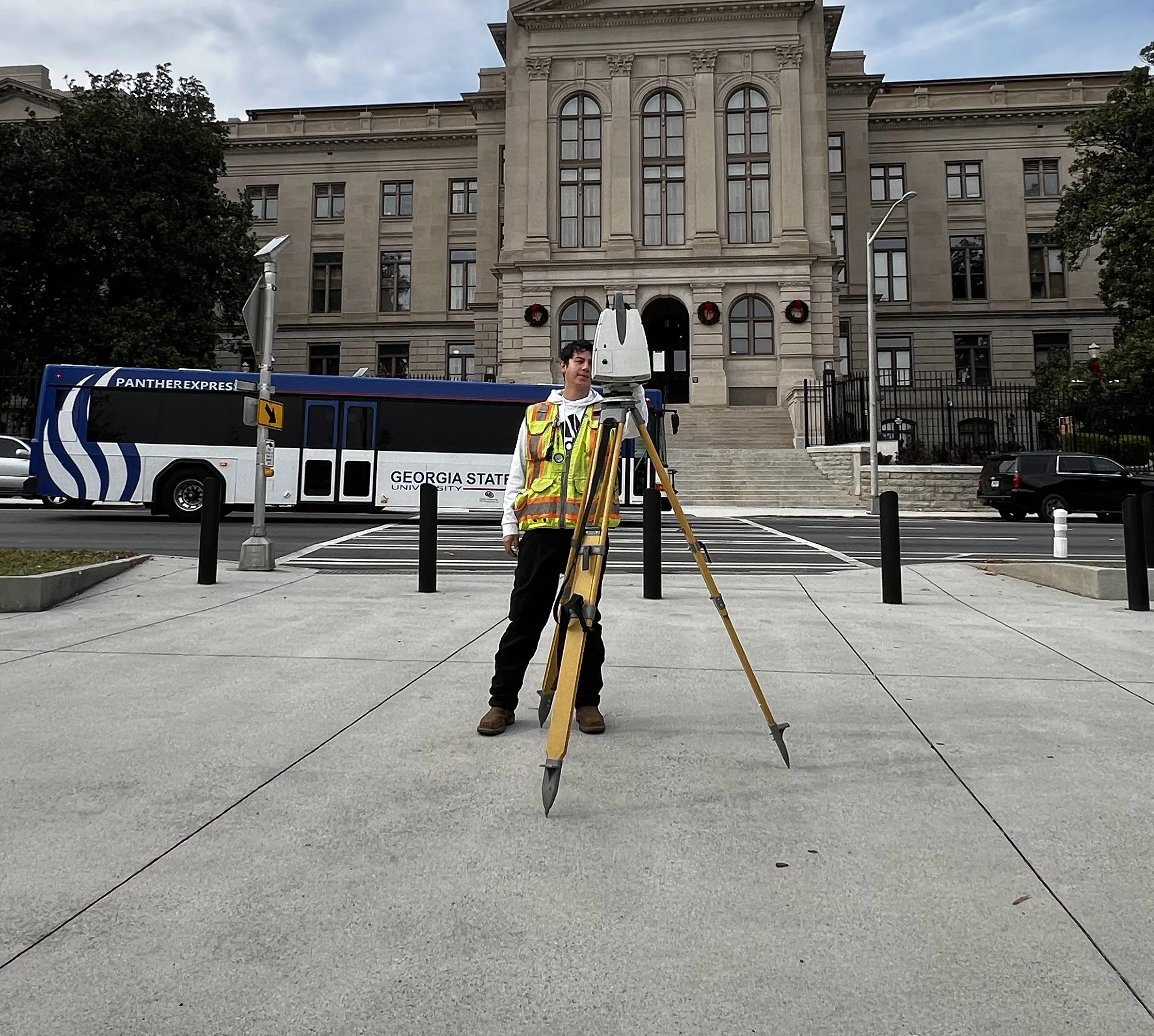
Tools we use on HD-3D Laser Scanning Jobs
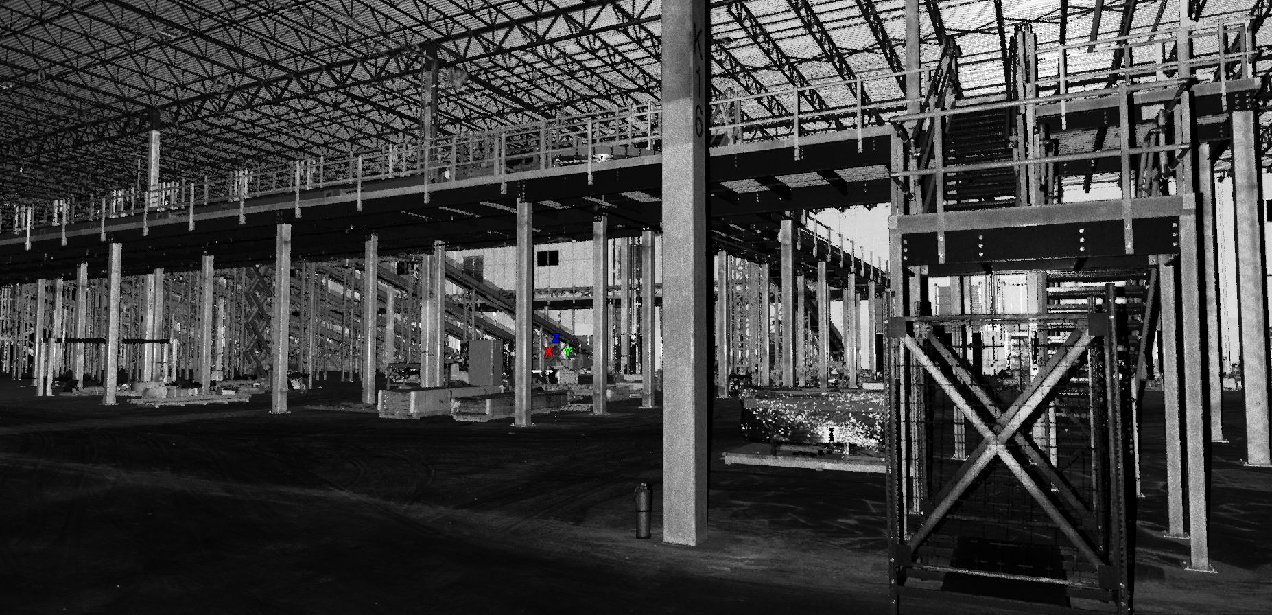
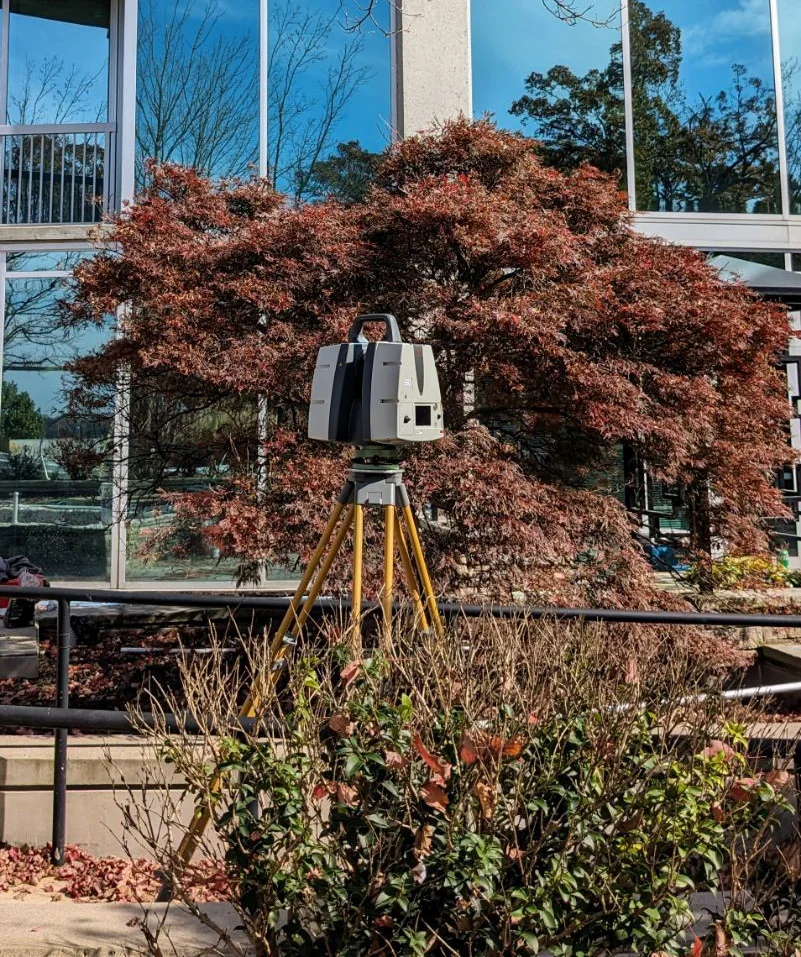
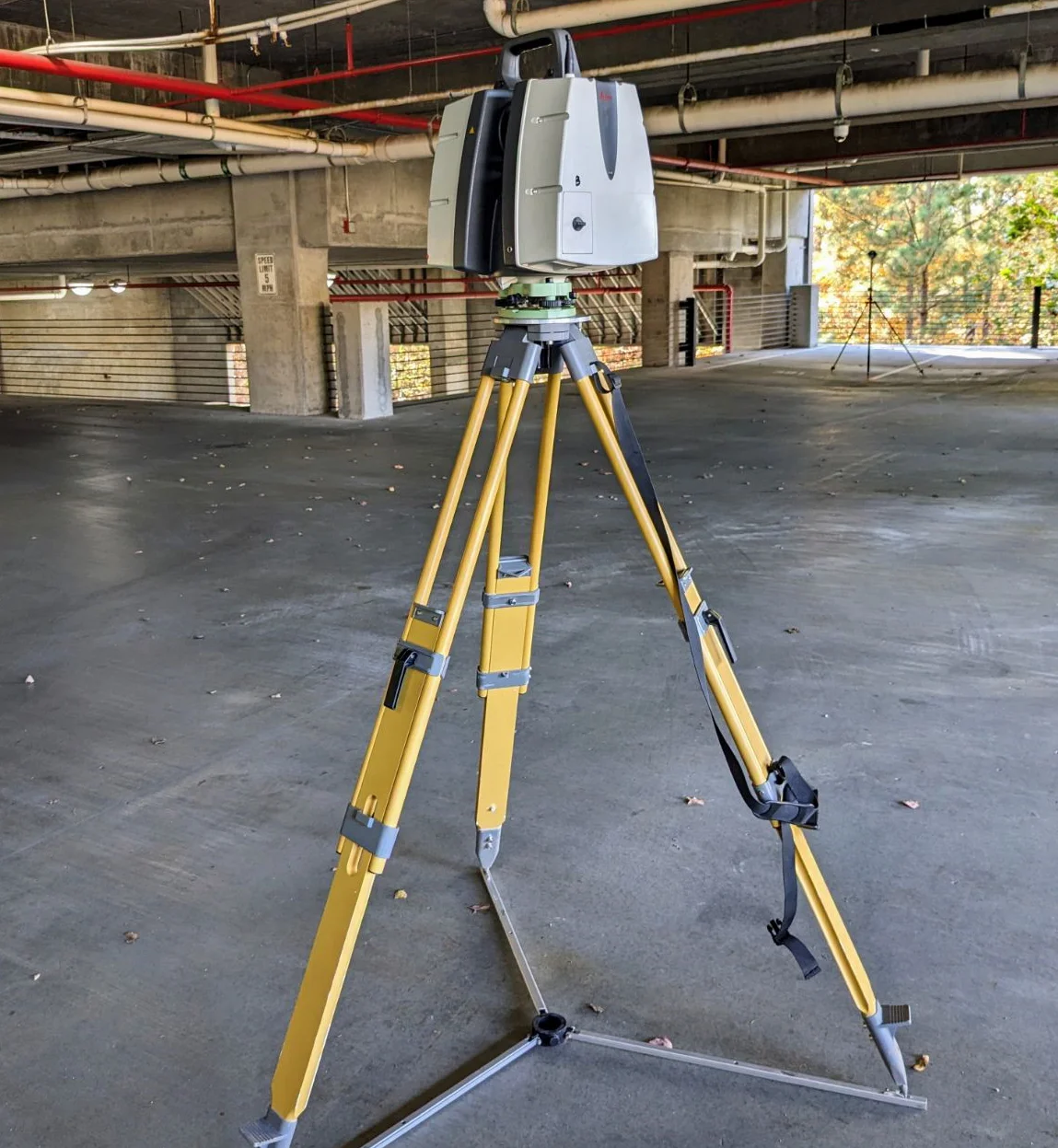
We use a Leica P40 3D laser Scanning Survey System. The P40 is a high-speed, high-accuracy laser scanner with a 360 x 270 degree field of view. The laser technology can scan any interior or exterior man-made or natural structure. Any area within it’s field of view will be created into a raw data set in the form of a 3-D image, which is made-up of millions of points of data, called a 3-D Point Cloud. Every two points of the 3D cloud provides direct point-to-point measurements within AutoCad.
The 3D point cloud can be used with software to view, pan, zoom and rotate in 3D.
Applications
- As-Built Surveys for exterior or interior building renovation, retrofit, remodel or expansions
- As-Built Surveys of complex facilities
- Surveying of busy street intersections
- Construction volume calculations
- 3D Topographic Surveys
- Monitoring Structure Deformation
- Surveys for Hazard Sites
- Marketing Tool for client viewing from any location
Why use a Licensed Surveyor to scan?
- Fully Insured
- Survey grade scanning control accuracy critical to your project
- We link boundary and other data to the 3D scan, including hydrographic data.