ALTA/NSPS Surveys
An ALTA Survey is a land survey that meets the specifications set forth in the ALTA/NSPS Land Title Survey Specifications. ALTA is the American Land Title Association, and NSPS is the National Society of Professional Surveyors. All of our Atlanta survey personnel are thoroughly experienced in providing this service, and are keenly aware of the standards set forth in the current ALTA/NSPS Minimum Standards. We also have a database of 32 years of ALTA SURVEYS done by Valentino & Associates Land Surveyors, in the Atlanta, and North Georgia area. Chances are we have a survey of your property and could update it quickly and cost effectively.
.
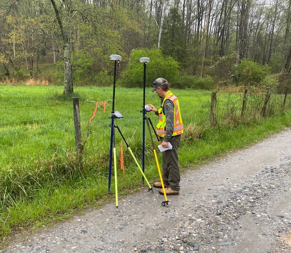
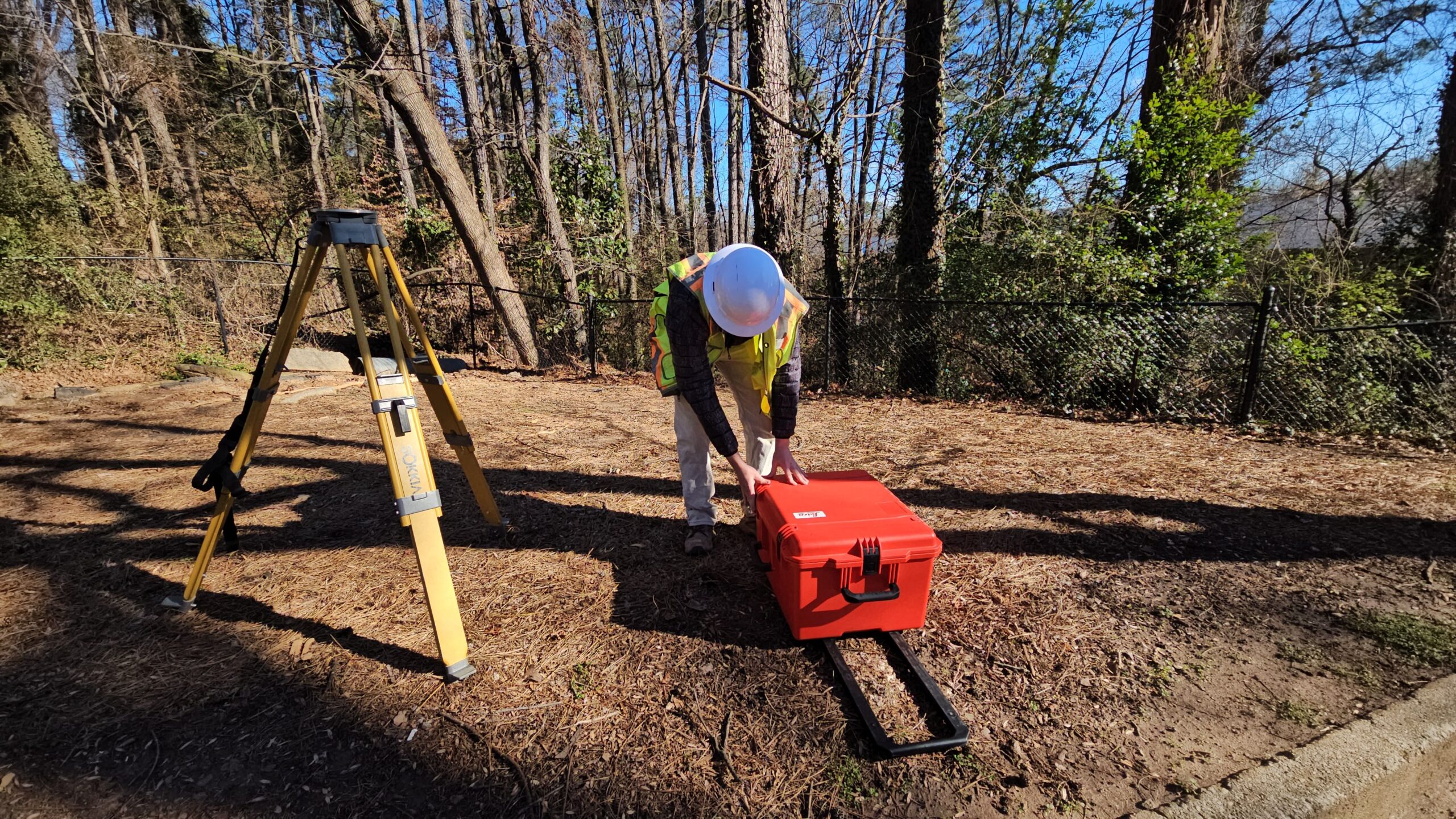
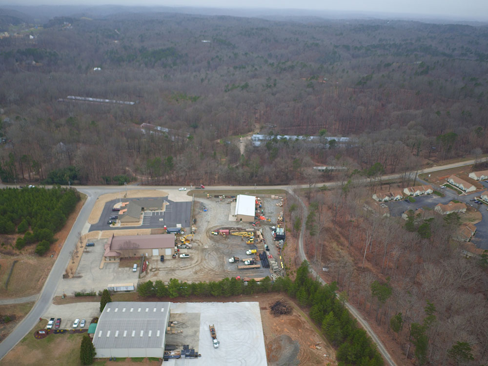
Valentino & Associates Land Surveyors is a premier provider of ALTA/NSPS Surveys in the Atlanta, and North Georgia area, and uses the most advanced survey equipment and software to ensure the accuracy, quality, and timeliness of our surveys. The field crew will establish GPS control using a Carlson Brx7 GNNS receiver taking redundant observations on all control points and property corners to meet all minimum requirements set forth by the Georgia Board of Surveyors. Then we use a robotic total station such as Geomax zoom 95, or our advanced drone, a DJI M300 RTK with a 46mp camera, or our Geocue True View 515 LIDAR unit to collect data. After the field work is completed, all the data is reduced, checked, and drafted by our office surveyors using software suites such as Carlson Survey and point cloud, Leica Cyclone and Pix4d, and LP360 Lidar software. When drafting is complete each ALTA Survey is reviewed by one of our Georgia Registered Land Surveyors