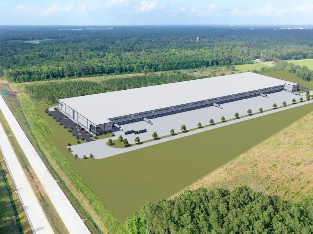
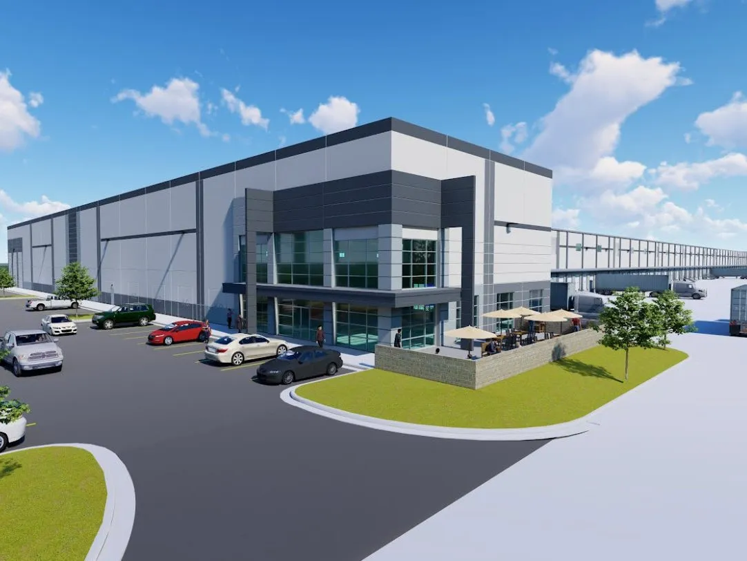
Bloomingdale Distribution Center
The Challenge
A long time client contacted Valentino & Associates with a 605-acre project that was over a 4-hour drive from the office, this project was already being managed by a national surveying firm who do work all over the United States. This firm would not call our client back to schedule more work. The project had a tight deadline that could not be missed for zoning and annexation purposes. An ALTA/NSPS Land Title Survey, LIDAR topographic survey, and a Bathymetric survey on the existing lakes/ ponds had to be conducted in little to no time. So, Valentino & Associates stepped up to the plate to take on the project.
The Solution
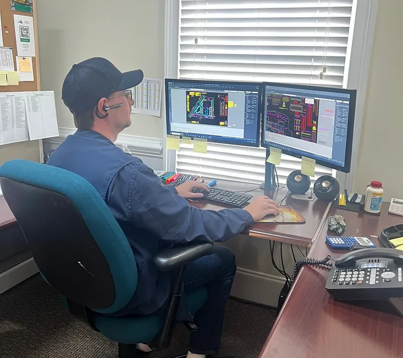
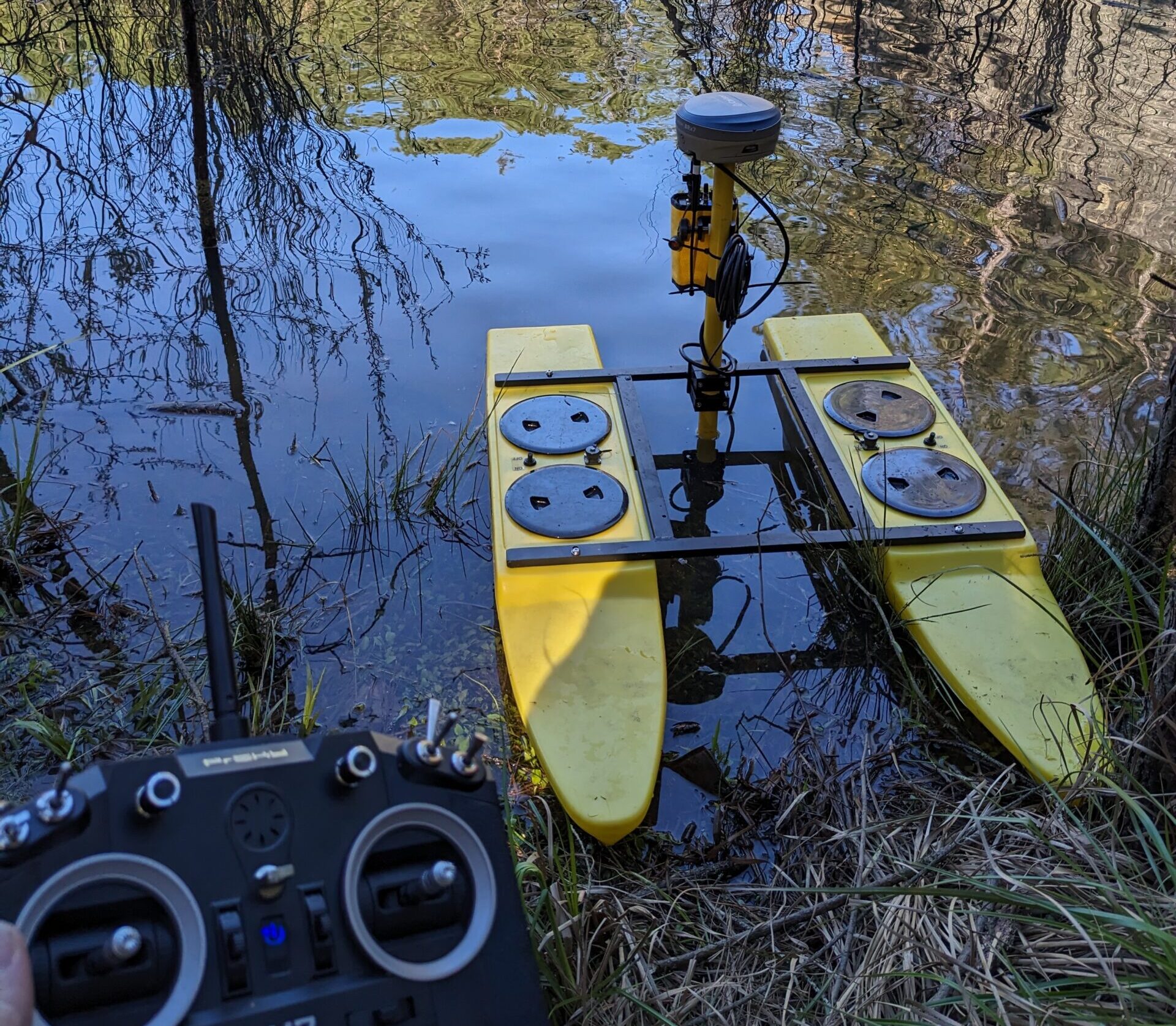
The solution to meet the deadline was to use all our latest surveying technologies in conjunction with one another to provide the client with their desired product. We used the Latest in GPS and Robotic Total Station technology to collect and establish control and to locate property corner information. We used our Drone equipped with state-of-the-art LIDAR mapping equipment to collect the topographic and photogrammetry information. Lastly, we used our echo sounder and RC controlled boat to collect information on the bottom of the existing lakes and ponds that were on site.
The Outcome
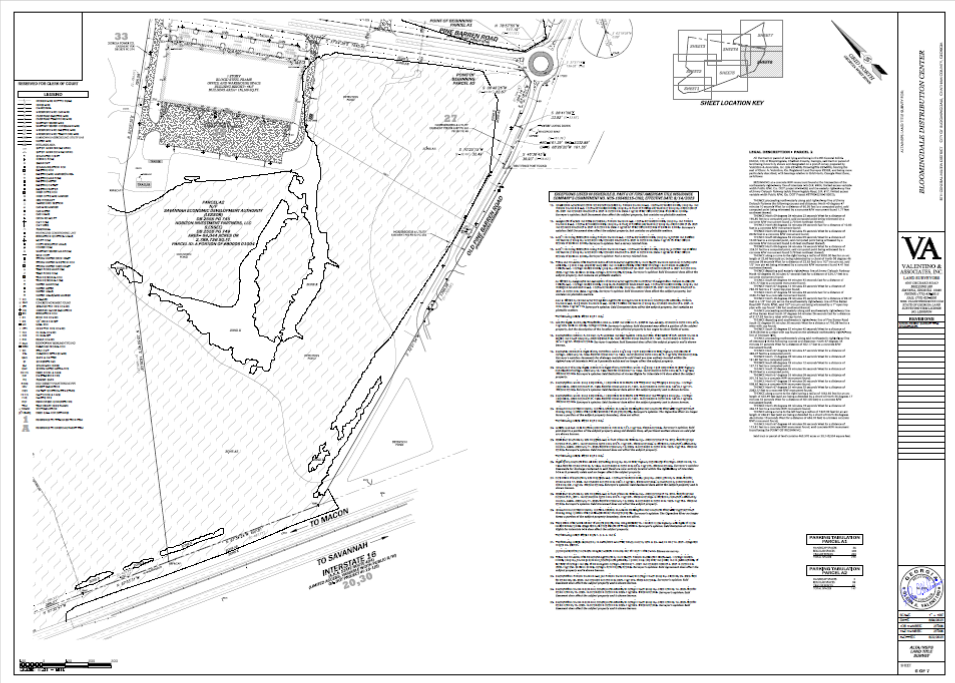
We provided our client with the ALTA/ NSPS Land Title survey, LIDAR topographic survey, and Bathymetric survey in record time so they could meet their deadline.
Services Provided
- Commercial, Industrial, ALTA/ NSPS Land Title Survey
- LIDAR Topographic Survey
- Bathymetric Survey
- Aerial Mapping
- Drone
- Photogrammetry
- As-Built