
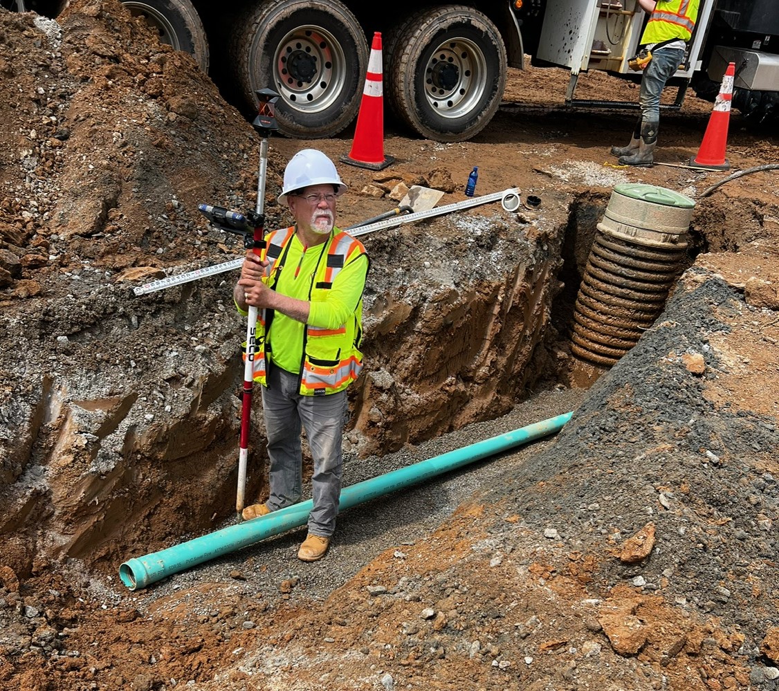
Topographic Surveys
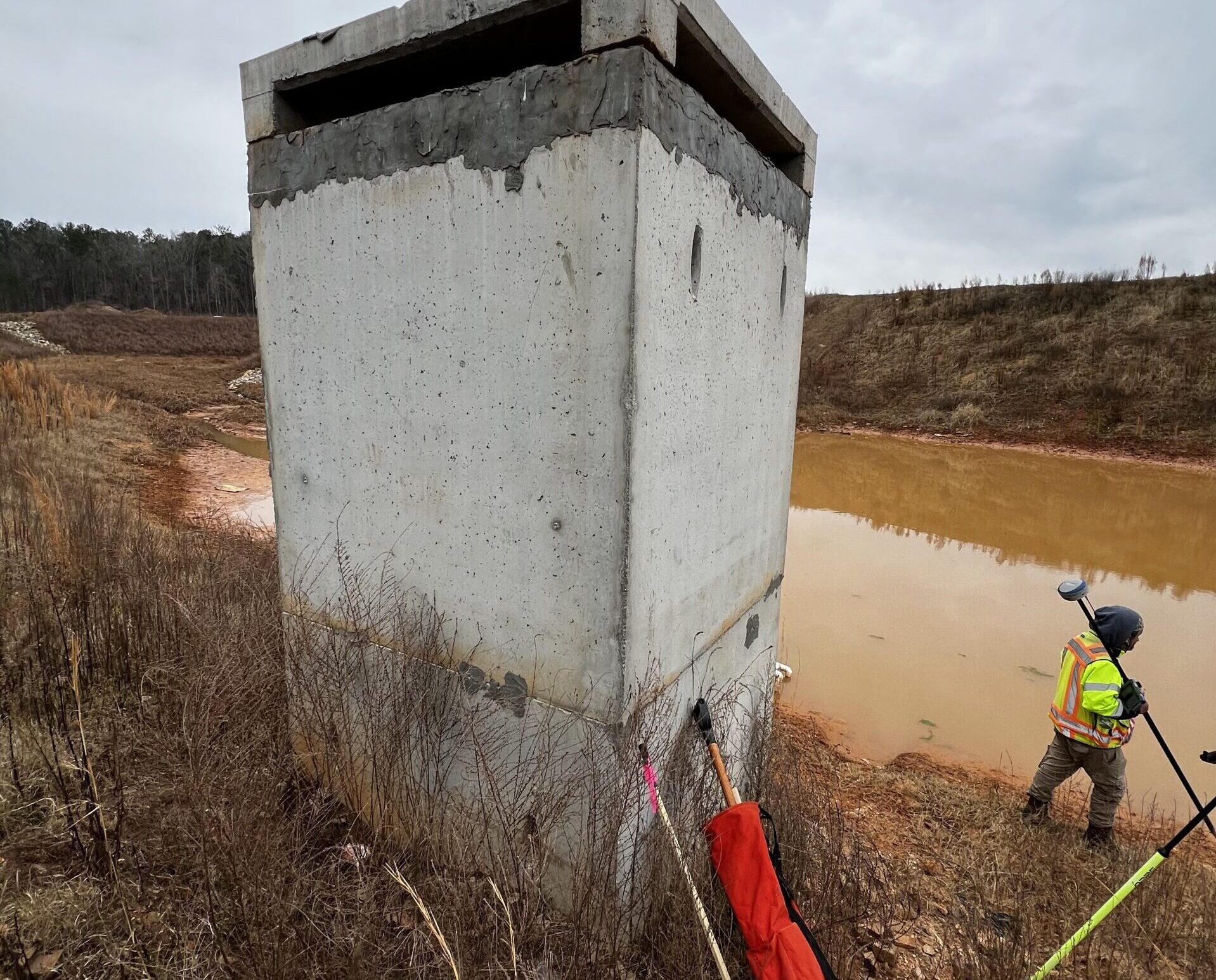
A Topographic Survey is a survey that measures the elevation of points on a particular piece of land, and presents them as contours on a plot. This type of survey determines the elevation and location of natural and man-made surface features and existing site conditions including:
- Ground elevations
- Drainage features | Detention facilities
- Concrete and paved areas
- Hills and ravines
- Buildings
- Roadways and walks
- Trees
- Utilities
- Wetlands/Waterways
Topographic surveys are a great tool for studying a piece of property since the survey will show the shape and location of both natural and artificial features within a determined area as well as the surface drainage of water. Topographic surveys are often performed in conjunction with boundary surveys or ALTA/NSPS Land Title Surveys, and can show property lines and recorded easements if required .
Valentino & Associates currently uses our Matrice 300 RTK drone which we fly with a GeoCue Trueview 515 with Pandar Lidar Unit for much of our Topographic Surveys. Flying our drone equipped with this payload, can penetrate dense vegetation and collect ground data to perform topographic surveys for up to 300-acre sites in less than an hour.
Valentino & Associates has completed thousands of topographic surveys in Atlanta and the state of Georgia over the last 32 years. We would love to put our expertise and survey technology to work to help you with your topographic survey needs.