Drone Services
We use advanced cutting edge technology and superior public safety for expert solutions.
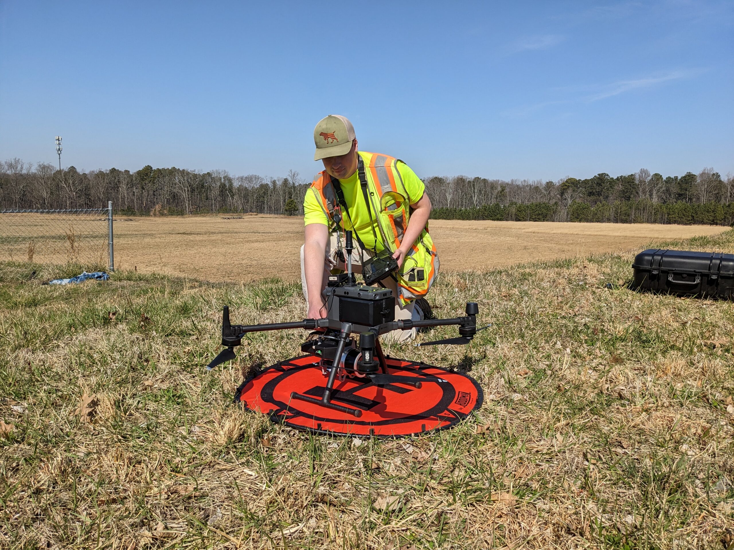
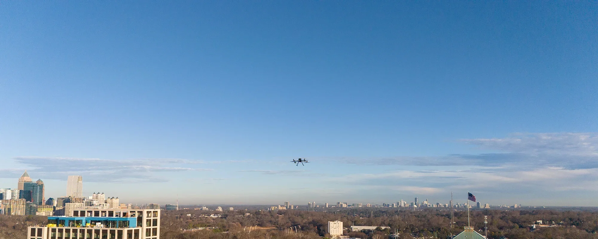
Valentino & Associates Land Surveying has 3 FAA licensed commercial UAV (drone) pilots on staff. Our flagship drone is a Matrice 300 RTK drone which we fly with either a Zenmuse P1 46 MP camera or a GeoCue Trueview 515 with Pandar Lidar Unit to produce unprecedented sub-cm accuracy for:
- Lidar Mapping
- Topography
- Photogrammetry
- Dense Point Cloud Surveys
- As-Built Surveys
- Change Monitoring
- Boundary Surveys
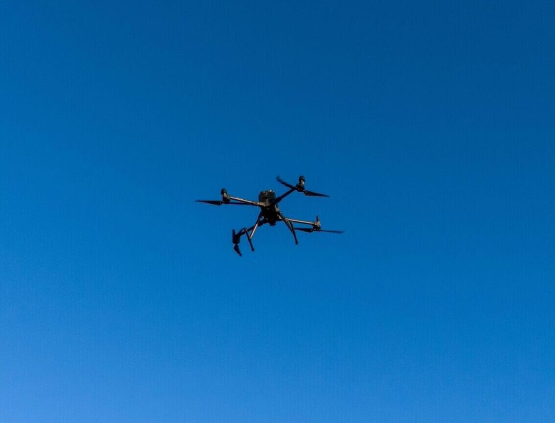
Our UAV allows us to perform quick, high-definition surveys across large, complex, and even hazardous areas while keeping everyone out of harm’s way. Using the latest and most advanced multi-rotor drone, the Matrice 300 RTK, our licensed pilots can fly different types of payloads, and collect and model LiDAR data during flight for topographic, boundary, as-built, and monitoring surveys. In fact, our drone equipped with our Geocue True View 515 LIDAR unit, can penetrate dense vegetation and collect ground data to perform topographic surveys for up to 300-acre sites in less than an hour.
We would love to put our drone technology to work to help you with your land surveying needs in the metro-Atlanta, North Georgia or Savannah areas.