
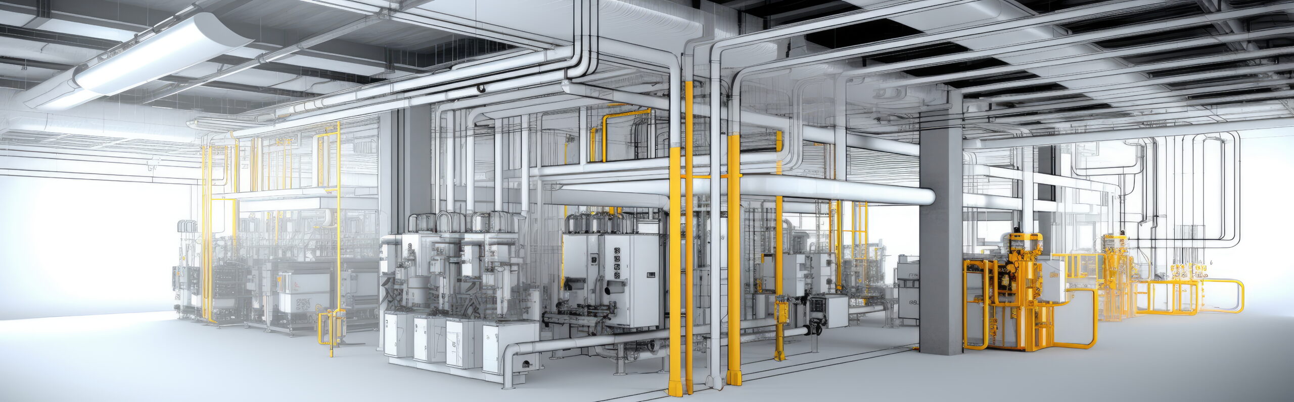
As-Built Scan to BIM Modelling
If your project demands accuracy, accountability, and high-quality deliverables, trust the professionals at Valentino & Associates who measure first and model second. Contact us today to discuss your project and see how our Scan to BIM Solutions can elevate your workflow.
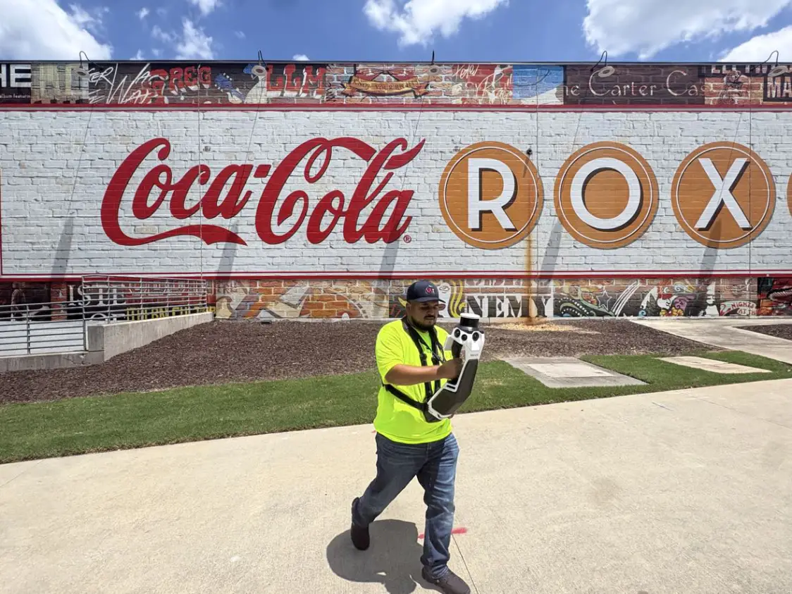
At Valentino & Associates we use a NavVis MLX Handheld 3-D Laser Scanning System with NavVis IVION Processing. This provides an end-to-end reality capture solution for our laser scanning survey projects, and for Scan to BIM projects.
Our NavVis MLX 3-D Laser Scanning System has redefined how we capture complex geospatial data for both indoor and outdoor projects, and has allowed us to offer new services and many benefits for our clients.
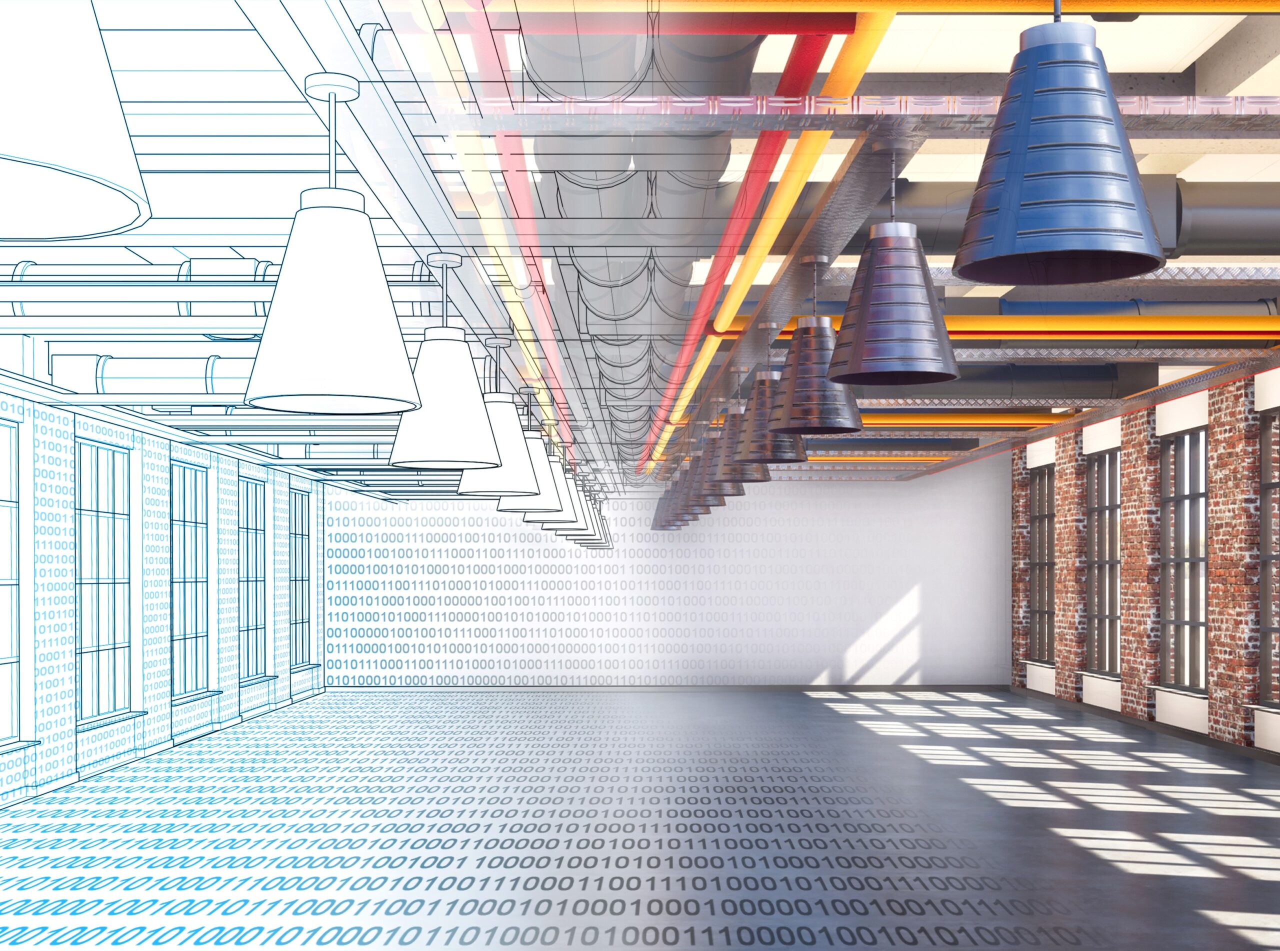
Customer Benefits
- Faster turnover on projects
- Quickly extracted deliverables
- Reduced project disruption
- Improved safety
- Cost-effectiveness
- Premium quality with reduced overhead
- Visual data for improved collaboration
- An innovative way to handle your data
Our As-Built Scan-to-BIM service transforms high-density point cloud data into intelligent, highly detailed models that empower better decisions, reduce risk, and streamline every phase of your project, and allow us to provide fully coordinated digital deliverables which include:
3D & BIM Deliverables
- Intelligent BIM models created in Autodesk Revit
- Highly detailed LOD-based models for design and coordination
2D Documentation
- Accurate as-built floor plans, elevations, and sections
- CAD-to-BIM conversions for legacy projects
Interactive & Accessible Files
- Autodesk Viewer files for easy sharing and collaboration (no software required)
- Hosted point cloud datasets available for a defined access period (customizable)
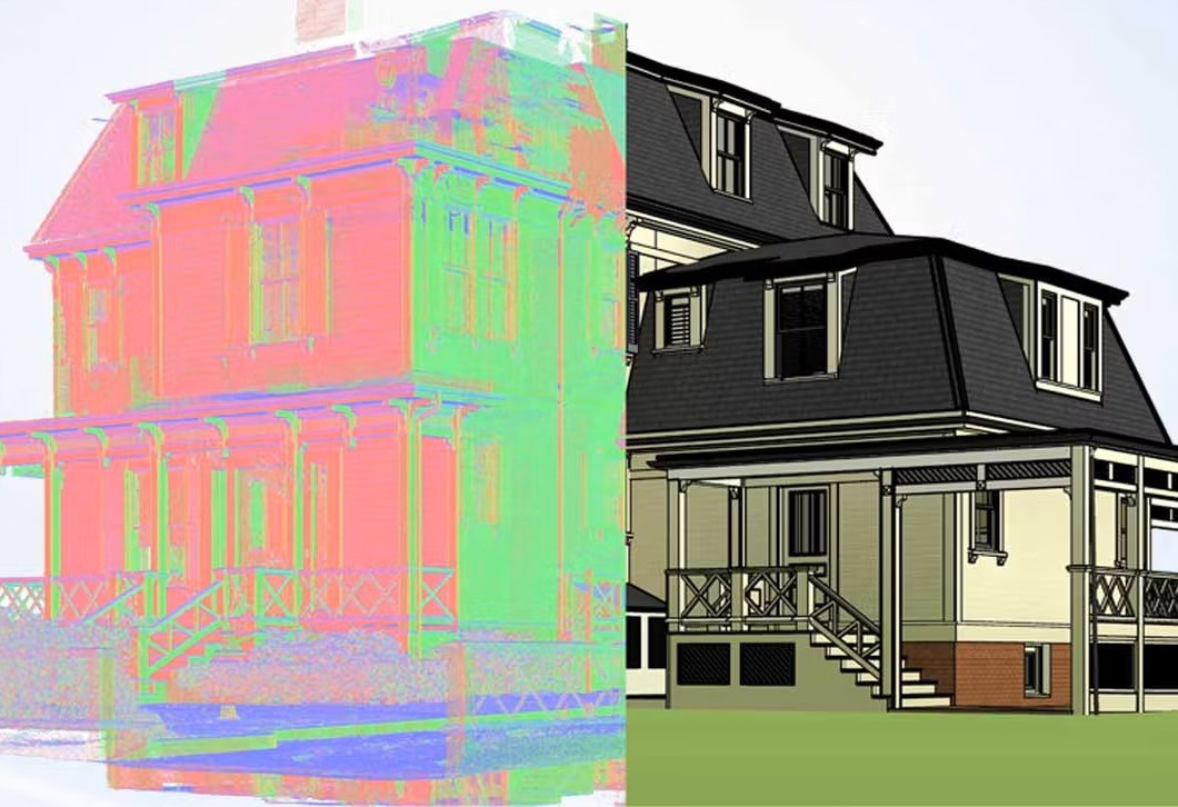
Applications for As-Built Scan Data
- As-Built to BIM Surveys for exterior or interior building renovation, retrofit, remodel or expansions
- As-Built Surveys of complex facilities
- Surveying of busy street intersections
- Construction volume calculations
- 3D Topographic Surveys
- Monitoring Structure Deformation
- Surveys for Hazard Sites
- Marketing Tool for client viewing from any location
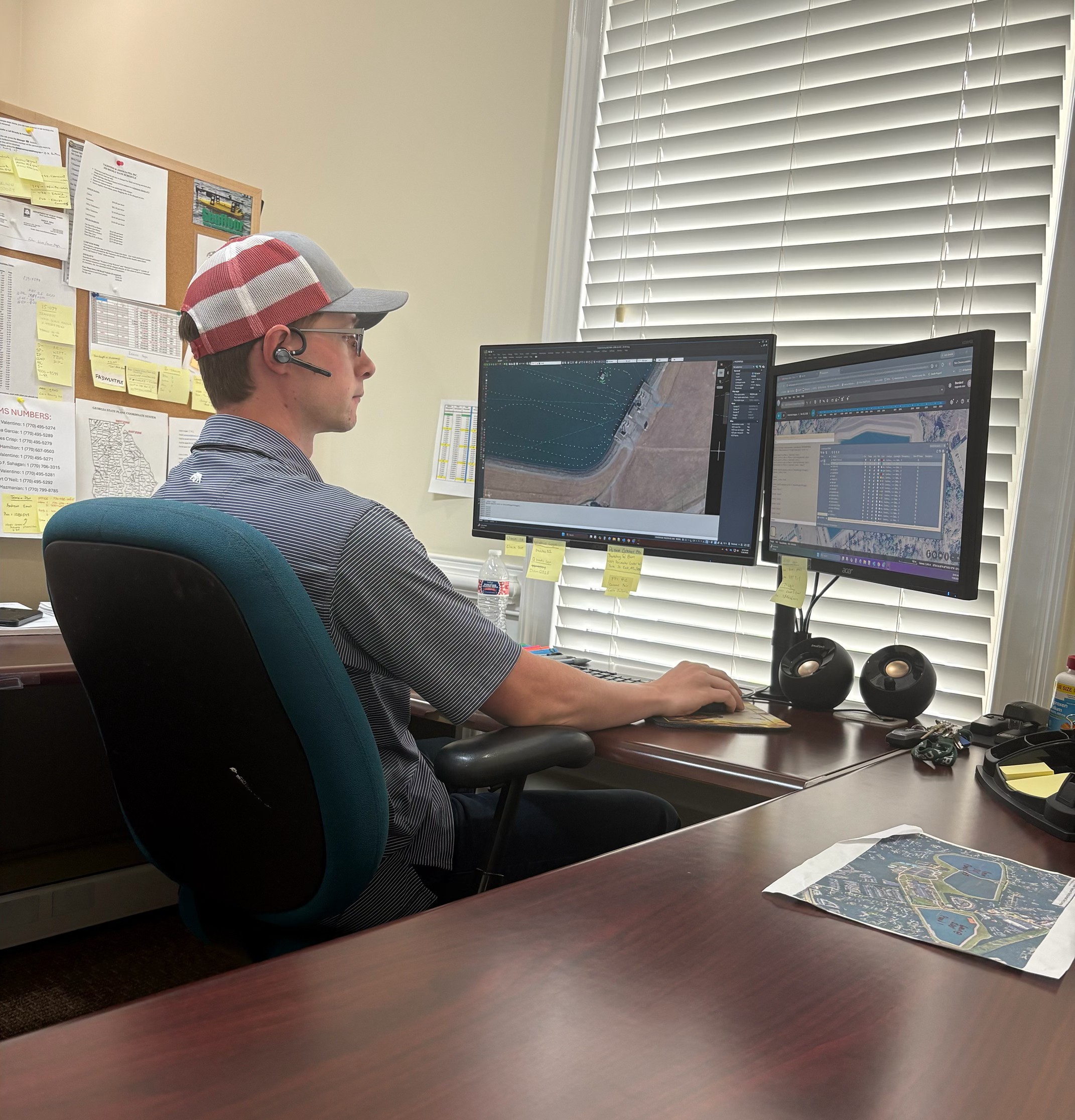
Why use a Licensed Surveyor to scan?
- Fully Insured
- Survey grade scanning control accuracy critical to your project
- We link boundary and other data to the 3D scan, including hydrographic data.