
Technology
Advanced surveying tools help Georgia grow
OUR TECHNOLOGY
While there will always be a time and place for traditional surveying, Valentino & Associates Land Surveyors embraces technological surveying innovations to improve our accuracy and turn-around time, and to better support our customers in an increasingly data-driven world. Sometimes a traditional boots-on-the-ground surveying approach is the best way to go, but sometimes technology is the answer, and our team knows it well. Not only do we have access to the latest technologies in surveying, but we also have the technical knowledge to use them appropriately. We also recognize that not every job requires high-tech solution, so we always use whatever is the right fit for the job.
With surveying expertise in a wide range of digital solutions captured through base and rover survey systems (GPS), survey drones (UAV), LiDAR, 3D Laser scanning, and remote-control unmanned surface vessels (USV), we’re able to survey large areas in great detail and with exceptional accuracy.
Unlike a lot of our competitors, Valentino & Associates Land Surveying invests in technology year after year so that we can always provide the best possible experience to our land surveying and construction layout clients. The competition may be happy using 40 years old surveying technology, and providing slow turn-around time, but that’s not how we do it here.
AERIAL DRONE SERVICES
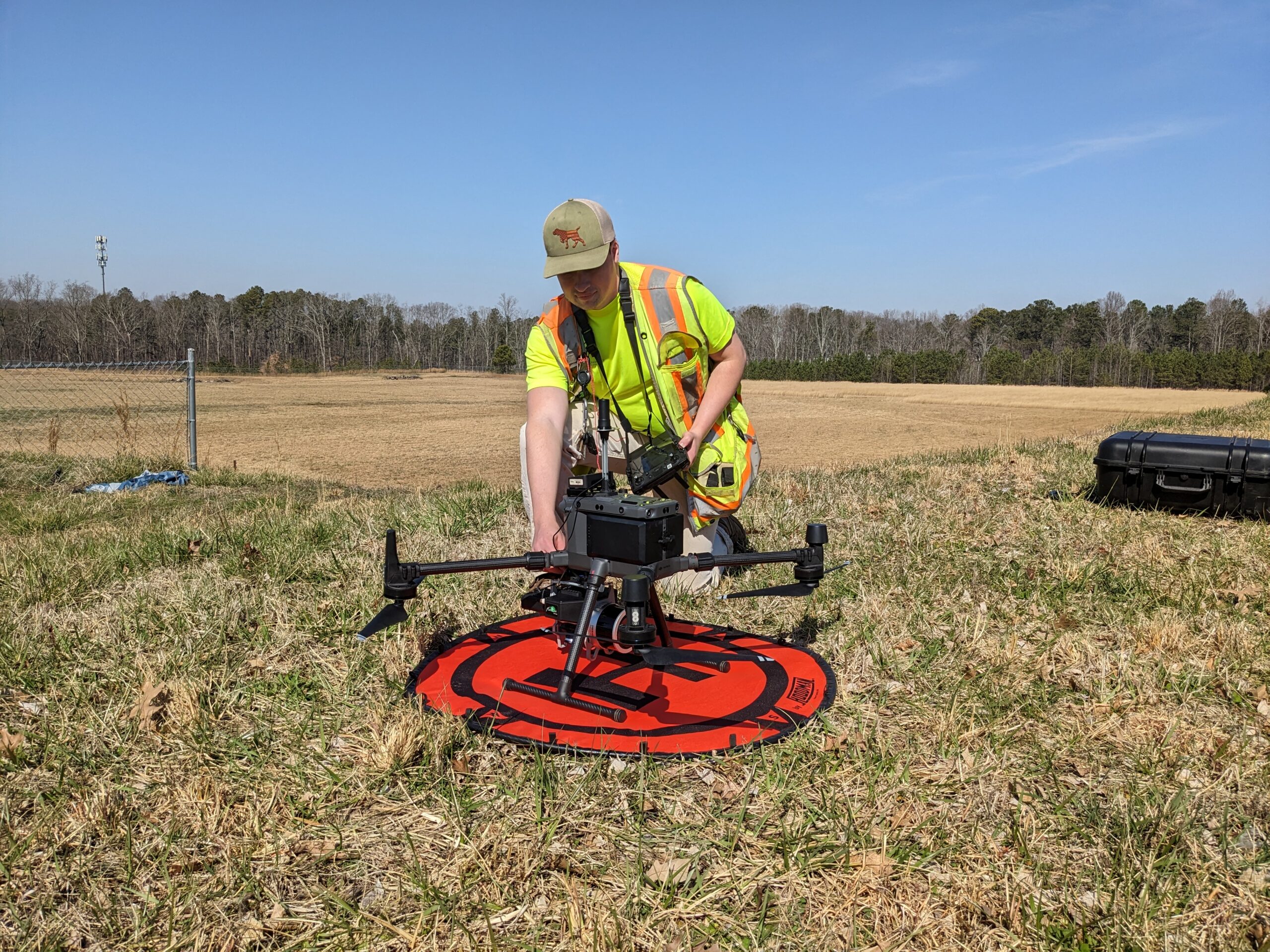
Valentino & Associates Land Surveying has 3 FAA licensed commercial drone pilots on staff. Our flagship drone is a Matrice 300 RTK drone which we fly with either a Zenmuse P1 46 MP camera or a GeoCue Trueview 515 with Pandar Lidar Unit to produce unprecedented sub-cm accuracy for:
- Lidar Mapping
- Topography
- Photogrammetry
- Dense Point Cloud Surveys

SCANNING SERVICES
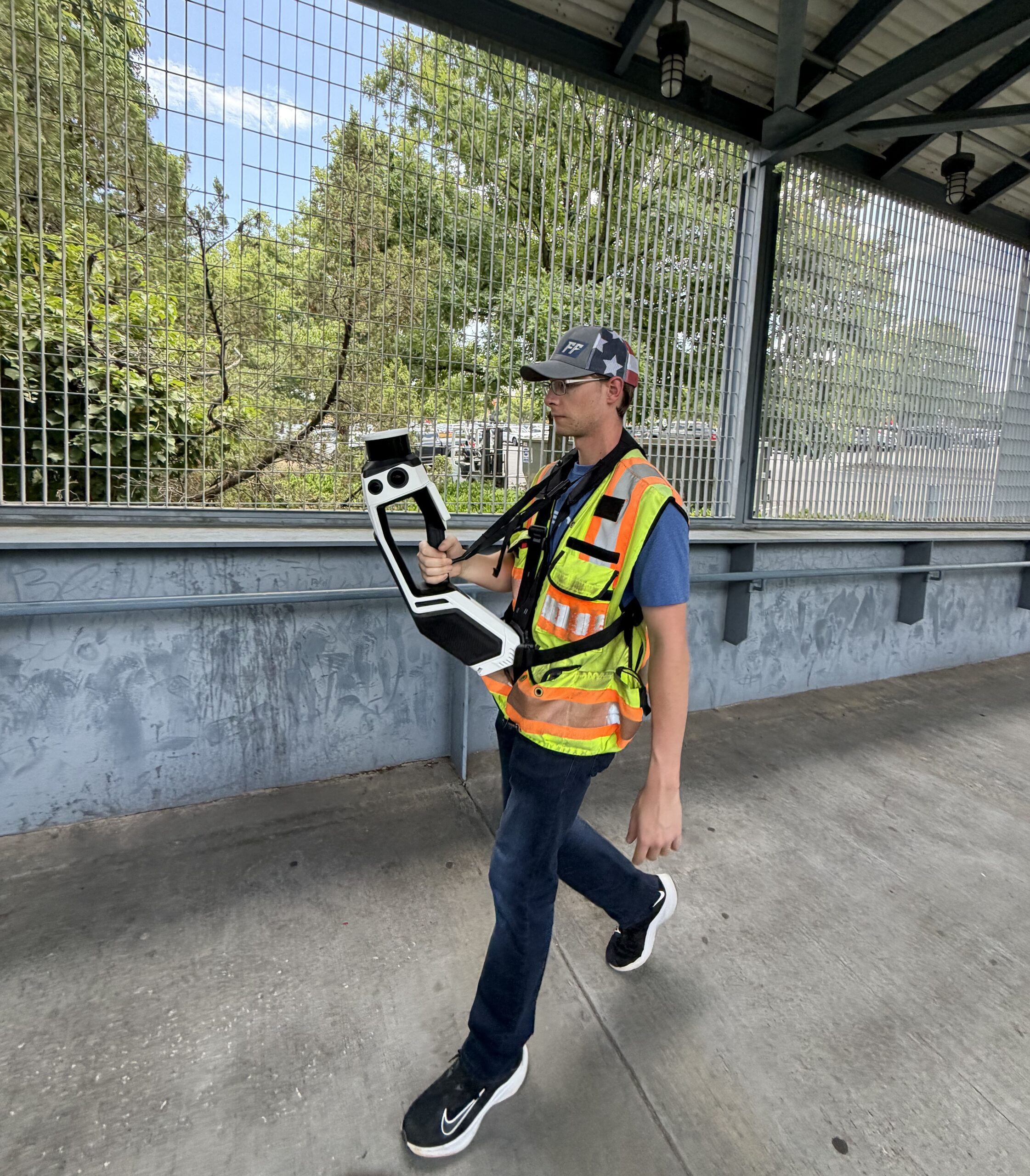
With 3-D scanning, Valentino & Associates is able to collect thousands of data points per second, in a fraction of the time it takes using conventional survey methods, and is able to provide a means of storing geospatial data for informed decision making and optimized operations. Valentino & Associates has used traditional scanners for years, but complex indoor projects, and As-Built Scan to BIM projects demand more than conventional 3D scans can offer. Valentino & Associates meets that challenge head-on with our NavVis MLX Wearable Mobile Lidar System. This system delivers rich, high-accuracy reality capture data across the most demanding indoor and outdoor environments. Our highly skilled surveyors collect georeferenced 3-D data quickly in the field while maintaining the survey-grade accuracy your project requires. Our Office Technicians rapidly convert spatial information into complete drawings, 3D models, and Building Information Models (BIM).
Our scanning services include:
- As-Built to BIM Services
- Exterior/Interior As-Built Building Surveys
- As-Built Surveys of complex facilities
- Surveying of busy street intersections
- Construction volume calculations
- 3D Topographic Surveys
- Monitoring for Tracking of Structural Changes
- Surveys for Hazard Sites
- Marketing Tool for client viewing from any location
GPS AND ROBOTICS
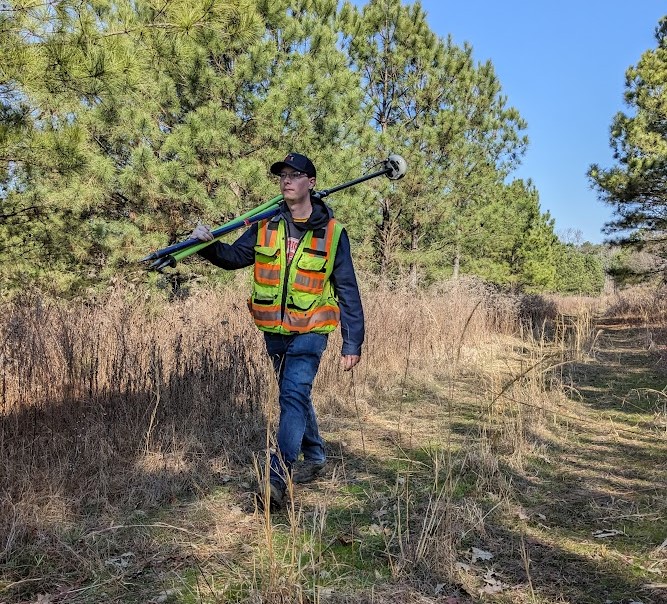
Valentino & Associates uses the latest technology from Carlson’s GNSS receiver called a BRX7. With the additional L5 signal band this GNSS receiver is able to get a reliable signal in environments that GNSS receivers could never do in the past! Employed in the correct environments and situations with the correct workflow for double checking data and accuracy standards a survey with the new GNSS technology implemented in the BRX7 the data collected rivals traditional survey methods conducted with a robotic total station saving time and money for our clients.
Our robotic total stations are Geomax zoom 95s that have been proven to be very accurate and reliable. These total stations can reliably measure distances, elevations, and more well above and beyond the accuracy standards our industry has adopted.